
Snorkel Surveys: A Look Below the Surface

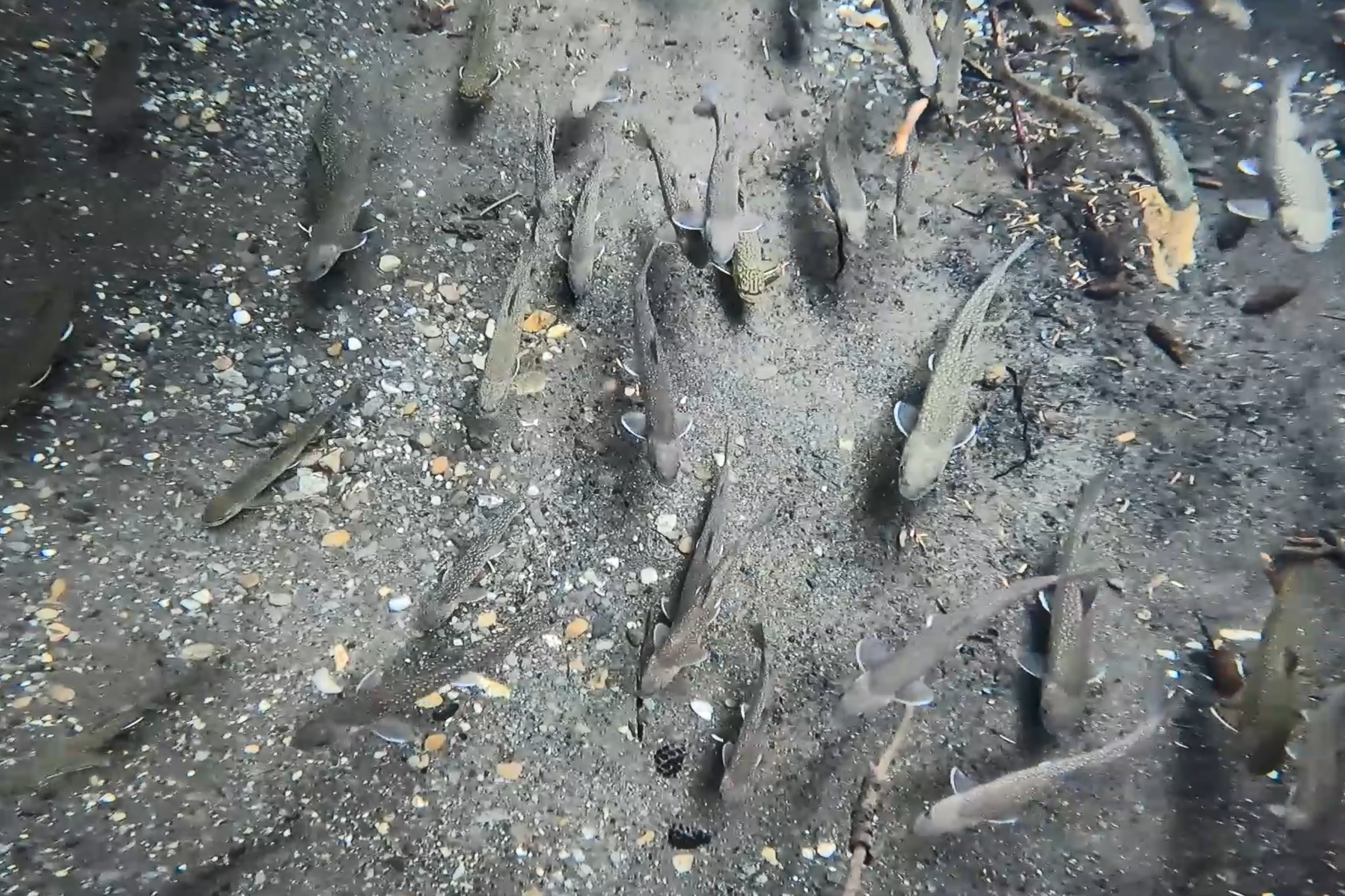
Sometimes the best way to assess a fish population is to become a fish…. or at least pretend to be one. Snorkel surveys are a sampling method sometimes utilized by fisheries biologists to enable them to peer into the underwater hidey holes which aquatic organisms call home. These surveys allow biologists to quantify the distribution, abundance, and composition of fish in an area, assess how they might be utilizing habitat, and understand more about their behavior. While other fisheries sampling methods such as electrofishing or trapping can be used, snorkel surveys require no fish handling and very little added stress to fish, making them a relatively low-impact alternative to more invasive sampling methods. While the other sampling methods such as electrofishing certainly play a role in the biologist’s toolbox, often snorkel surveys can be used to answer questions that may not be feasible to answer using other methods. Additionally, snorkel surveys have the added benefit of being very cost effective to perform over a large area of habitat.

You might ask, “How do you conduct a snorkel survey?” Usually, it begins with the brainstorming of a question which you would like to explore about the fish population. Snorkel surveys are a versatile method of sampling, and they can be used to help answer a variety of questions such as confirming fish presence/absence, assessing how fish are utilizing habitat features like woody debris or undercut banks, provide relative counts of fish, detail spawning behavior and habitat, and assess obstructions or barriers. Once the question is determined you will have to design your survey to best suit the watercourse. Snorkel surveys can be used on a wide variety of different watercourses; however, the methodology used may change based on overall size and flow. For example, on smaller systems, an upstream direction of travel with focus on the primary habitat features likely to hold fish (i.e. deeper water, instream structure, etc.) may be chosen to preserve underwater visibility and to not disturb fish by floating over in shallower water. In larger systems, downstream travel may be preferred since it will allow for more area to be covered with less effect on water clarity and alterations to the natural behavior of fish. Other important variables which are survey specific include, time of day, number of snorkelers, time of year, length of sampling reach, and will sampling be repeated (and if so, how often). When a section is chosen it is also important to identify any potential hazards such as waterfalls, logjams, and canyons to ensure that the survey can be completed safely, or dangerous areas can be avoided. Field verification of these areas is critical to ensuring the safety of all team members. At least one person should be designated as the observer/data recorder which will remain on shore or in a boat to capture data relayed from the snorkelers and serve as a safety second.

It is critical to ensure that you have the appropriate selection of equipment for the temperature and conditions of the waterbodies you will be sampling to ensure a successful outing. A well-fitted tempered glass mask with a snorkel is required to permit vision and breathing under the surface of the water. Typically, in the mountain and foothills streams which we often snorkel, we require either a drysuit or wetsuit with thick neoprene to protect us from the frigid water temperatures. Typically, we also use neoprene gloves, boots, and hoods to prevent as much exposure to cold water as possible. Fins are used in larger watercourses especially when conducting downstream surveys to help maintain position in the stream. Personal floatation devices (PFD) are recommended especially when surveying deeper and faster water to ensure buoyancy and reduce safety risks. Underwater cameras can also be useful to capture video or photos of fish behavior or to verify species identification. Lastly, an adequate number of data sheets, ideally using waterproof paper, will be required to document observations and data collected during the survey.
One of the drawbacks of snorkel surveys is that they have the potential for higher degrees of uncertainty due to influence from environmental conditions and differences in observer training, experience, and fish identification skills. At AJM, one of the ways in which we reduce the effects of uncertainty and ensure consistency across observers is by completing annual competency checks where we conduct a snorkel survey as a group on the same stream. During this exercise, we each individually count the same groups of fish in a stream and develop an estimate count of fish observed, separated into species and size classes. We then compare our estimates with our colleagues and discuss any differences to calibrate our assessment. We then also complete field calibration before conducting any survey to ensure all team members are aligned in the surveying process and the specific fish species which may be encountered.
In addition to its applicability to aquatic biology, snorkeling is an extremely fun and exciting recreational activity which is accessible to a wide range of people. My fellow fish enthusiasts and I spend countless hours throughout the summer drifting down and crawling up streams recreationally to get a glimpse at Alberta’s native fish fauna in their natural habitat. It is truly amazing to see some of the coolest snorkeling locations, which rival the tropical reefs, found often minutes from your doorstep. These experiences have helped me to appreciate some of the extraordinary places these creatures inhabit.
Written by: Evan Tichonuk, BSc., BIT, AJM Environmental Scientist